Introduction
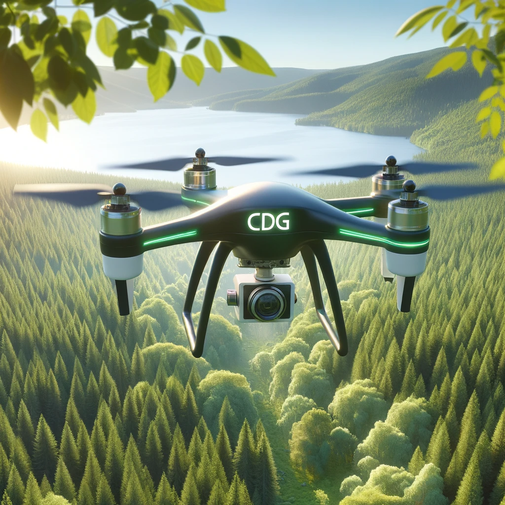
In the ever-evolving world of environmental science, technology plays a pivotal role in advancing our understanding and preservation of biodiversity. At CDG, we are at the forefront of this revolution, employing cutting-edge drone technology to conduct comprehensive biodiversity assessments. This blog post delves into the transformative impact of our drone-assisted services, exploring how they contribute to sustainable environmental practices and aid in the conservation of our planet’s precious biodiversity.
What Are Drone Biodiversity Assessments?
Drone biodiversity assessments involve the use of unmanned aerial vehicles (UAVs), commonly known as drones, to gather data on flora and fauna across various ecosystems. Unlike traditional methods, which can be time-consuming and often invasive, drones provide a non-intrusive means of capturing detailed and accurate ecological data. This technology enables scientists and conservationists to monitor large and inaccessible areas with precision, ensuring comprehensive ecosystem evaluations with minimal disturbance to wildlife.
The Need for Advanced Biodiversity Assessments
Biodiversity—the variety of life on Earth—is critical for maintaining ecosystem services that humans rely on, from pollination and water purification to climate regulation and soil formation. However, with escalating threats such as habitat destruction, climate change, and pollution, biodiversity is diminishing at an alarming rate. Effective conservation strategies hinge on our ability to accurately assess and monitor ecosystems, making innovative approaches like drone assessments indispensable.
How CDG’s Drone Assessments Enhance Biodiversity Monitoring
Comprehensive Data Collection
CDG’s drones are equipped with high-resolution cameras and sensors that capture a wide array of data points. These include high-definition images and videos, thermal imaging, and multispectral data. This capability allows for the detailed study of habitat conditions, plant health, and wildlife populations, providing a comprehensive overview of the ecosystem’s health.
Access to Remote and Challenging Terrains
Many critical biodiversity hotspots are located in areas difficult to access or navigate through conventional means. Our drones can effortlessly traverse these terrains, be it dense forests, wetlands, or mountainous regions, ensuring that no part of an ecosystem is left unmonitored.
Time Efficiency and Cost-Effectiveness
Traditional biodiversity surveys are not only labor-intensive but also expensive. Drone technology simplifies the process, significantly reducing the time and resources required for data collection. This efficiency allows for more frequent data collection, leading to better-informed, timely decision-making in conservation efforts.
Minimal Disturbance to Natural Habitats
One of the significant advantages of using drones is their ability to observe without disturbing. This is particularly important in sensitive environments where human presence can stress wildlife or alter natural behaviors. Drones can hover at a distance, collecting necessary data without any direct contact with the ecosystem.
Real-World Applications of CDG’s Drone Biodiversity Assessments
Wildlife Monitoring and Protection
Drones are instrumental in tracking species populations, especially those that are elusive or critically endangered. For instance, our drones have been used to monitor nesting sites of birds, movements of marine species along the coast, and migration patterns of terrestrial wildlife. This data is crucial for developing targeted protection strategies and assessing the effectiveness of conservation measures.
Habitat Analysis
Our assessments help in mapping out vegetation patterns and the health of various plant species, which are essential indicators of the overall health of an ecosystem. Such detailed habitat analysis aids in identifying degraded areas needing restoration or protection from potential environmental threats.
Impact Assessment
Before and after environmental impact assessments are critical, especially in regions undergoing rapid industrial development or urbanization. CDG’s drone services provide valuable insights into the effects of human activities on local biodiversity, enabling stakeholders to mitigate negative impacts effectively.
Climate Change Research
Understanding the effects of climate change on biodiversity is paramount. Our drones collect data over time, revealing trends and shifts in ecosystems that may be responses to climate variability. This long-term data is vital for predicting future changes and preparing adaptive strategies.
Conclusion
At CDG, our drone biodiversity assessments are more than just technological achievements; they are vital tools in the global effort to conserve the natural world. As we continue to enhance our technologies and expand our services, we remain committed to providing our clients and partners with reliable, accurate, and actionable environmental data.
By harnessing the power of advanced drone technology, CDG is setting new standards in environmental monitoring, offering hope and practical solutions for preserving the planet’s biodiversity. Join us in this mission, and together, let’s work towards a sustainable and vibrant Earth for future generations.
