Introduction
In the realm of modern agriculture, precision and efficiency are paramount. Traditional methods of assessing crop health and monitoring land use have evolved significantly with the integration of cutting-edge technologies. One such innovation making waves in the agricultural sector is Drone Agricultural Surveys, offered by CDG. This service not only revolutionizes farm management but also empowers farmers with actionable insights derived from aerial data.
The Role of Drone Agricultural Surveys
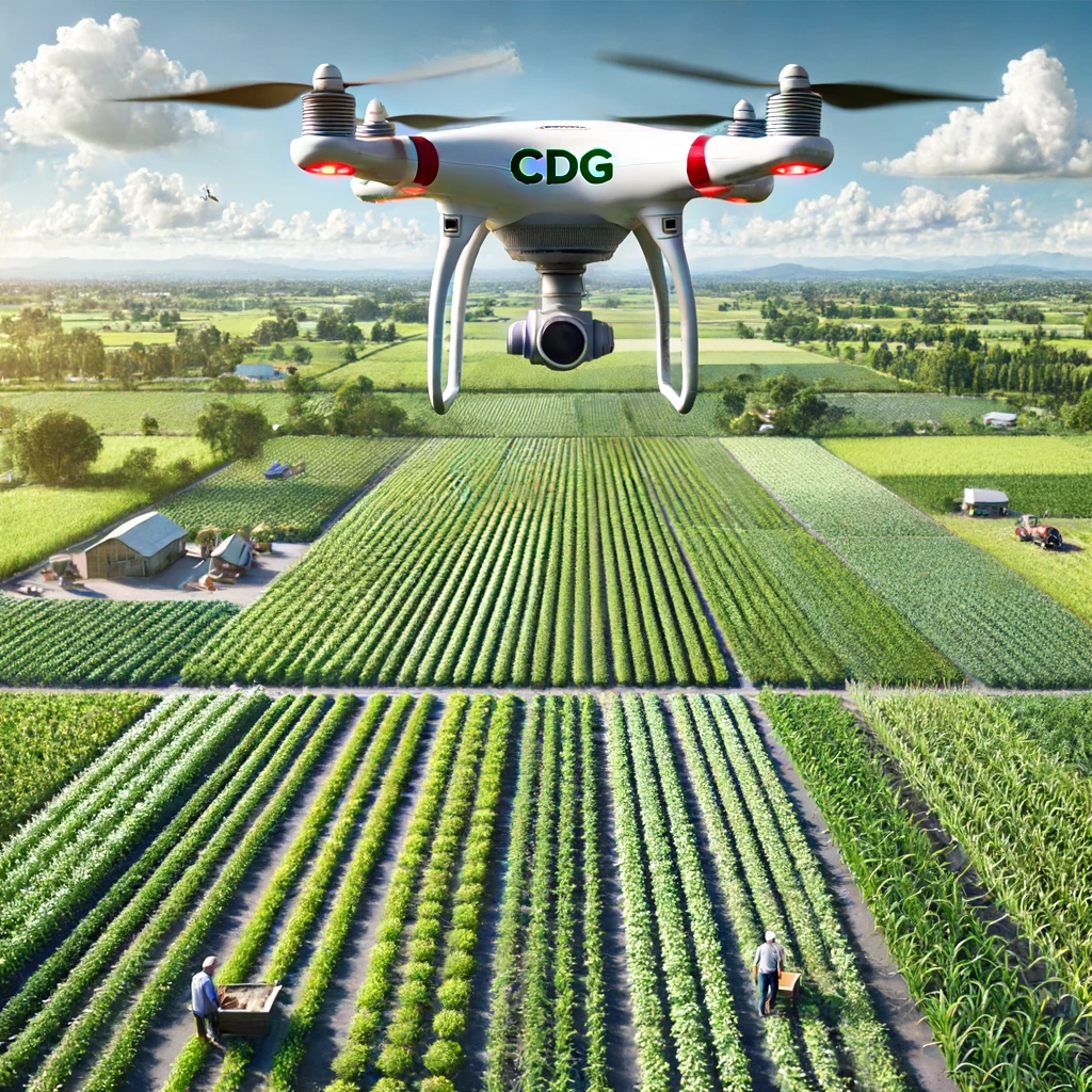
Drone Agricultural Surveys involve the use of unmanned aerial vehicles equipped with advanced sensors and cameras. These drones are deployed to capture high-resolution imagery and multispectral data of agricultural lands. The primary objectives include:
Crop Health Monitoring: Drones provide real-time monitoring of crop health indicators such as plant stress, nutrient deficiencies, and water saturation levels. This early detection helps farmers intervene promptly, thereby minimizing crop losses and optimizing yields.
Precision Farming: By generating precise maps and 3D models of fields, drones enable farmers to implement precision farming techniques. This involves targeted application of fertilizers, pesticides, and irrigation based on localized crop requirements, resulting in cost savings and environmental sustainability.
Yield Estimation: Accurate yield estimation is crucial for planning harvest schedules and optimizing storage and transportation logistics. Drones gather data on plant count, canopy coverage, and biomass, providing farmers with reliable forecasts for better decision-making.
Land Mapping and Analysis: Beyond crop monitoring, drones conduct detailed land surveys and topographic mapping. This information aids in land use planning, identifying drainage patterns, and assessing soil composition, supporting informed land management strategies.
Advantages of Choosing CDG’s Drone Agricultural Surveys
Expertise and Accreditation
CDG brings to the table extensive experience as an ISO 17020 accredited inspection agency, ensuring compliance with rigorous quality and safety standards. Our certified drone operators possess in-depth knowledge of agricultural practices, enabling them to tailor surveys to meet specific farm needs.
Comprehensive Service Offerings
We offer a comprehensive suite of drone agricultural services, including:
Field Scouting and Monitoring: Regular aerial inspections track crop growth stages and detect anomalies early.
Seasonal Crop Assessments: From planting to harvest, we provide ongoing support to optimize farming practices throughout the agricultural cycle.
Disease and Pest Detection: Rapid identification of pest infestations and disease outbreaks allows for timely intervention, reducing pesticide use and preserving crop health.
Cutting-Edge Technology
Our drones are equipped with state-of-the-art sensors capable of capturing high-definition imagery and multispectral data. This technology provides farmers with detailed insights into plant health metrics, including chlorophyll levels and thermal signatures, enhancing diagnostic accuracy and treatment efficacy.
Data Analysis and Reporting
At CDG, we don’t just capture data—we transform it into actionable intelligence. Our team of agronomists and data analysts leverage advanced analytics and machine learning algorithms to interpret drone-collected data. The result? Clear, concise reports and visualizations that empower farmers to make informed decisions swiftly.
Real-World Applications and Success Stories
Case Study: Increasing Yield Through Precision Agriculture
In a recent project with a local farmer cooperative, CDG conducted drone surveys to optimize fertilizer application in a 100-acre wheat field. By mapping soil nutrient levels and conducting multispectral analysis, our team identified areas with nitrogen deficiencies. Precision application of nitrogen fertilizers led to a 15% increase in crop yield, demonstrating the tangible benefits of precision agriculture facilitated by drone technology.
Future Outlook
As agriculture continues to evolve in response to global challenges such as climate change and food security, the role of technology in sustainable farming practices becomes increasingly critical. Drone Agricultural Surveys represent a pivotal advancement in agrotechnology, offering farmers unprecedented visibility and control over their operations.
Conclusion
In conclusion, Drone Agricultural Surveys by CDG epitomize innovation and excellence in agricultural inspection services. By harnessing the power of drones, we empower farmers to maximize productivity, minimize environmental impact, and secure sustainable livelihoods. Whether you’re a small-scale farmer or a large agribusiness, partnering with CDG ensures access to cutting-edge technology and expert insights that drive agricultural success.
