Introduction
In a world where the boundaries between land and sea are constantly shifting, coastal erosion stands as a silent yet formidable force, threatening communities, habitats, and infrastructure worldwide. At CDG, we recognize the urgency of addressing this pressing issue, which is why we’ve harnessed the power of drone technology to revolutionize coastal preservation efforts. Join us as we explore how our Drone Coastal Erosion Inspections service is reshaping the way we understand and protect our shores.
Understanding the Challenge:
Coastal erosion, driven by natural processes and exacerbated by human activities and climate change, poses significant risks to coastal communities and ecosystems. From disappearing beaches to crumbling cliffs, the impacts are far-reaching, ranging from habitat loss and infrastructure damage to economic upheaval. Despite its severity, coastal erosion often goes unnoticed until it’s too late, underscoring the need for proactive monitoring and intervention.
The CDG Approach:
At CDG, we believe that knowledge is power – and that’s where our Drone Coastal Erosion Inspections come into play. Leveraging state-of-the-art drone technology and expertise in environmental monitoring, we provide comprehensive assessments of coastal erosion dynamics, offering invaluable insights to inform decision-making and risk management strategies. Our process is founded on precision, efficiency, and a commitment to environmental stewardship.
The Power of Drones:
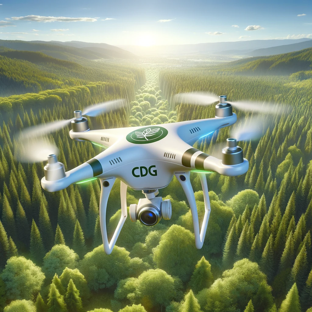
Drones have revolutionized the way we observe and analyze the natural world, offering unparalleled access to remote and inaccessible areas. Equipped with advanced sensors and cameras, our drones capture high-resolution imagery and topographic data with unmatched accuracy and detail. This aerial perspective allows us to map coastal features, detect changes over time, and identify erosion hotspots with precision – all without disturbing sensitive habitats or ecosystems.
Data-Driven Insights:
But drones are more than just flying cameras – they’re powerful data collection tools. At CDG, we combine cutting-edge drone technology with sophisticated data analysis techniques to unlock actionable insights from raw imagery and sensor data. Through advanced software and algorithms, we process and interpret the data to generate detailed maps, elevation profiles, and erosion risk assessments. This wealth of information provides our clients with a comprehensive understanding of coastal dynamics, empowering them to make informed decisions and take proactive measures to mitigate risks.
Real-World Impact:
The impact of our Drone Coastal Erosion Inspections extends far beyond the digital realm – it’s about making a tangible difference on the ground (or in this case, the shoreline). From coastal municipalities and government agencies to conservation organizations and private developers, our clients trust us to deliver actionable insights that drive meaningful change. Whether it’s implementing shoreline protection measures, restoring degraded habitats, or advocating for sustainable coastal management practices, our recommendations are grounded in science, innovation, and a commitment to environmental stewardship.
Conclusion:
In the face of mounting environmental challenges, innovation is our greatest ally. With CDG’s Drone Coastal Erosion Inspections, we’re not just monitoring coastal erosion – we’re shaping the future of coastal preservation. By harnessing the power of drone technology and data-driven insights, we’re empowering communities, safeguarding ecosystems, and building resilience in the face of uncertainty. Together, let’s rise to the challenge and embrace a future where our shores are protected, our habitats thrive, and our coastal communities flourish.
