Introduction
In the realm of safeguarding communities against natural disasters, foresight is paramount. Floods, in particular, pose significant threats to both life and property. To mitigate these risks effectively, comprehensive floodplain mapping becomes indispensable. At CDG, we harness the cutting-edge technology of drones to conduct precise and efficient floodplain mapping inspections. Let’s delve into the transformative power of this service and how it can fortify your flood preparedness strategy.
Understanding the Essence of Floodplain Mapping
Floodplain mapping serves as the cornerstone of flood risk management. By delineating areas prone to flooding, authorities can formulate targeted mitigation measures and emergency response plans. Traditionally, this process involved painstaking manual surveys, consuming substantial time and resources. However, with advancements in drone technology, the paradigm has shifted dramatically.
The CDG Advantage: Precision Redefined
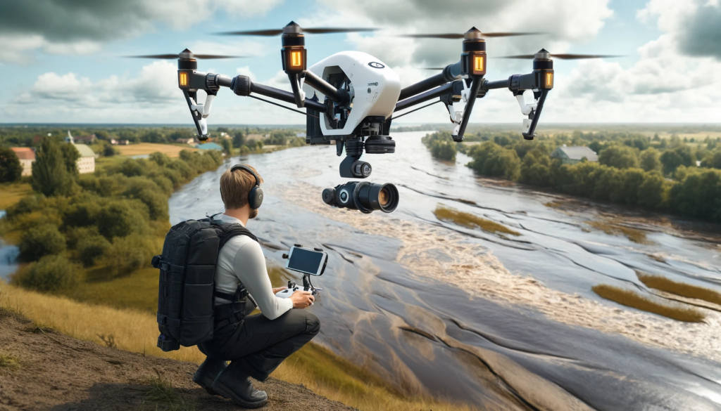
Our drone floodplain mapping inspections epitomize precision and efficiency. Equipped with state-of-the-art sensors and imaging capabilities, our drones soar above flood-prone areas, capturing high-resolution data with unparalleled accuracy. From elevation profiles to topographic features, every detail is meticulously documented, empowering you with comprehensive insights into flood dynamics.
Unraveling the Benefits
Rapid Data Acquisition: Unlike conventional methods, which entail prolonged data collection periods, our drone inspections expedite the process significantly. Within a fraction of the time, we equip you with actionable data, enabling prompt decision-making.
Cost-Efficiency: By streamlining the inspection process, we optimize resource utilization, translating into cost savings for your organization. Our tailored solutions ensure maximum value proposition, amplifying the return on your investment.
Enhanced Safety: Floodplain mapping inherently involves traversing hazardous terrains. With drones at the helm, we eliminate exposure to potential risks, safeguarding personnel and minimizing operational hazards.
Granular Insights: The high-resolution imagery captured by our drones unveils a wealth of information, empowering you with granular insights into flood dynamics. From identifying vulnerable hotspots to assessing infrastructure resilience, our data equips you with a nuanced understanding of flood risk.
Unlocking Strategic Applications
The utility of drone floodplain mapping extends far beyond risk assessment. Armed with comprehensive data, stakeholders can orchestrate a myriad of strategic initiatives, including:
Emergency Response Planning: In the event of a flood, every second counts. Our mapping data facilitates swift and effective emergency response coordination, potentially saving lives and mitigating damages.
Infrastructure Development: Urban planners leverage our insights to inform infrastructure development projects, ensuring resilience against future flood events. From strategic zoning to drainage system optimization, our data underpins sustainable growth.
Insurance Assessment: Insurance providers leverage our data to accurately assess flood risk and tailor insurance policies accordingly. This synergy fosters a proactive approach to risk management, minimizing financial exposure for both insurers and policyholders.
Harnessing the Power of Innovation
At CDG, innovation is our driving force. By seamlessly integrating drone technology into floodplain mapping inspections, we transcend conventional boundaries, redefining the landscape of flood risk management. Our commitment to excellence, coupled with a relentless pursuit of innovation, positions us as the vanguard of safety and resilience.
Conclusion
In an era defined by unprecedented environmental challenges, proactive measures are imperative. With drone floodplain mapping inspections, we empower you to anticipate, mitigate, and adapt to the dynamic realities of flood risk. Together, let us chart a course towards a safer, more resilient future. Embrace the power of innovation. Embrace the power of CDG.
